Orientation and navigation course for hiking around Annecy

Orientation and navigation course for hiking around Annecy

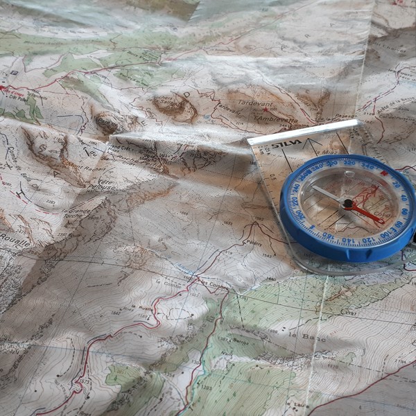
You want: to know how to read an IGN map, to know how to use your compass, to communicate your geographical coordinates in case of emergency, to make the link between the map and the terrain, in order to become autonomous during your hikes, this course is made for you!
Plateau des glières / Semnoz
Intermediate
2 days
Next training :From 9 April To April 10, 2025
PRICE PER PERSON FOR A MINIMUM OF 3 PARTICIPANTS2 daysInformation at +33 450 57 82 59
Vous souhaitez réserver ?
From200.00€
ou
Reservation request
For more information, contact us at
+33 450 57 82 59
Guides
Experts chevronnés de la montagne
Sécurité
Équipement de qualité, mesures strictes
Adaptabilité
Vous accompagner à votre rythme
Program

Program

Pedagogical objectives

Acquire basic knowledge of cartography and orientation/navigation to be autonomous during field trips

  • Learn to read an IGN map
  • Learn how to use your compass, altimeter
  •  Plan and organize an itinerary

Day 1: Mapping and orientation

Meeting point on the Glières plateau at 9am. Presentation of the course.
We will approach the fundamentals of cartography and orientation through theoretical exercises and practical applications on the ground.
End of the day around 5pm.

Day 2: Progress and navigation

Meeting point on the parking of the Grande Jeanne animal park on the Semnoz at 9am.
We leave today for a day hike on a new sector. This will allow us to learn about planning and navigation. The hike (of moderate difficulty, maximum 700m of ascent for a maximum of 6 hours of walking) will also be the occasion to test the knowledge assimilated the first day.
End of the course around 5 pm.

Receive the technical sheet
background

Good to know about the training
Orientation and navigation course for hiking around Annecy

The price include
Supervision by a qualified mountain guide.
Educational material (map, beacons, etc.).
The price does not include
Picnics on days 1 and 2.
Orientation equipment (compass, altimeter, etc.)
Transportation to the starting point of the hike.
Anything not indicated in the "price includes" section.
Participant’s personal equipment
Hiking equipment (see attached list).
Orientation equipment:
Your compass
An altimeter if you have one.
A ruler, a pencil and an eraser.
The IGN 3430 hiking map AND La Clusaz Grand-Bornand if you have it.
A notebook to take your notes.
background

Activities guides Orientation and navigation course for hiking around Annecy

Lauris Chaumond
Hiking
Snowshoeing
Team Bulding
Lauris Chaumond

Mountain Leader

See all guides
background
For further information, please contact us

Receive the technical sheet by mail

You will receive by email the technical sheet. Your email will not be used for commercial purposes but is kept for statistical purposes.

Your request has been sent, the documentation will be sent quickly.
An error occurred while requesting the documentation, please try again.