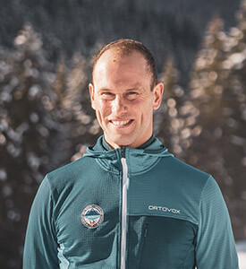
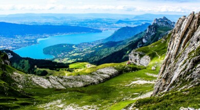
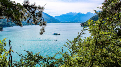
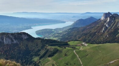
Annecy lake is a jewel with turquoise waters. It is surrounded by limestone mountains, the Bornes on its eastern flank and the Bauges on its western flank. There are many possibilities for hiking with a wide variety of levels. At the Annecy guide office, the mountain guides are specialists in the itineraries around the lake. They will help you discover the most beautiful trails and the most beautiful panoramas. They will adapt to your level of practice and will be able to advise and guide you on the hike or trek that suits you.

Hiking Annecy
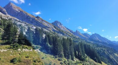
Hiking is an outdoor activity that will reconnect you to the essentials. At the Annecy guide office, mountain guides offer you the opportunity to discover this practice in the exceptional setting of Lake Annecy and its mountains. You will set off to explore the most beautiful routes around the lake. Your guide will share with you his knowledge of the fauna, flora, heritage, and the particular geology of our little corner of Haute-Savoie. You will learn to recognize the main peaks of the Aravis and the Bauges.
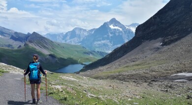
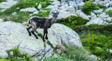
Theme hike: Encountering Mountain Animals
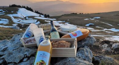
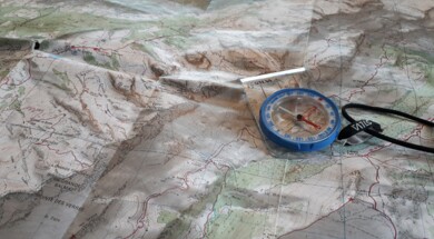
Orientation and navigation course for hiking around Annecy

Orientation and navigation course for hiking around Annecy

Orientation and navigation course for hiking around Annecy

Orientation and navigation course for hiking around Annecy

Orientation and navigation course for hiking around Annecy

Orientation and navigation course for hiking around Annecy

Orientation and navigation course for hiking around Annecy

Orientation and navigation course for hiking around Annecy

Orientation and navigation course for hiking around Annecy

Orientation and navigation course for hiking around Annecy

Orientation and navigation course for hiking around Annecy

Orientation and navigation course for hiking around Annecy

Orientation and navigation course for hiking around Annecy

Orientation and navigation course for hiking around Annecy

Orientation and navigation course for hiking around Annecy

Orientation and navigation course for hiking around Annecy

Orientation and navigation course for hiking around Annecy

Orientation and navigation course for hiking around Annecy

Orientation and navigation course for hiking around Annecy

Orientation and navigation course for hiking around Annecy
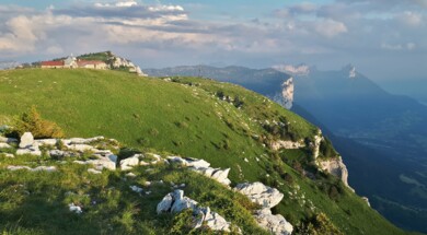
Night in a refuge above Lake Annecy
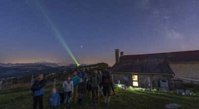
Astronomy observation and night in a refuge above the lake of Annecy
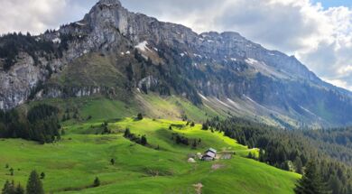
Mini Trek - Tour of the Sous Dine mountain
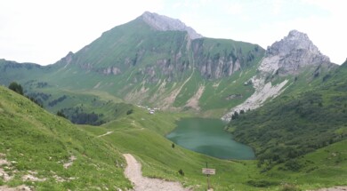
Overnight in a mountain lakeside refuge
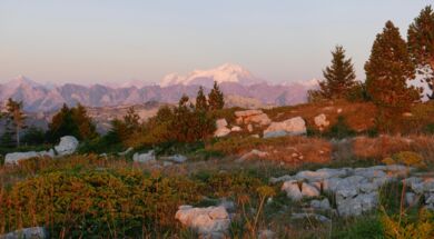
Trek - Crossing the Massif des Bornes to the Aravis
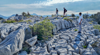
Mini Trek - On the wild plateau of Parmelan

Night in a refuge above Lake Annecy
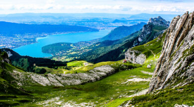
Trek - Around the Annecy lake by the ridges

Mini Trek - Tour of the Sous Dine mountain
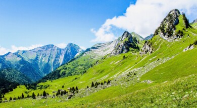
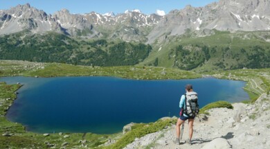

Mini Trek - On the wild plateau of Parmelan

Night in a refuge above Lake Annecy
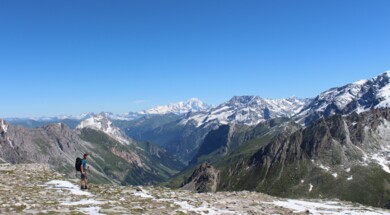

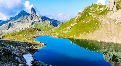
Trek - In the heart of the Beaufortain mountain range
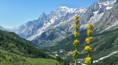
Trek - Tour du Mont-Blanc - Lightweight bags

Mini Trek - On the wild plateau of Parmelan

Night in a refuge above Lake Annecy
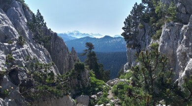


Trek - Crossing the Massif des Bornes to the Aravis

Mini Trek - Tour of the Sous Dine mountain


Astronomy observation and night in a refuge above the lake of Annecy
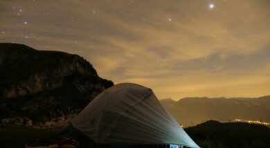
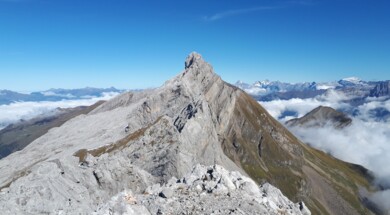

Trek - In the heart of the Beaufortain mountain range
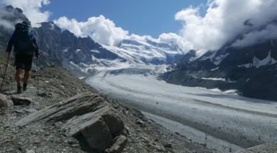

Overnight in a mountain lakeside refuge

Mini Trek - On the wild plateau of Parmelan


Mini Trek - Tour of the Sous Dine mountain

Night in a refuge above Lake Annecy

Astronomy observation and night in a refuge above the lake of Annecy


Overnight in a mountain lakeside refuge


Mini Trek - Tour of the Sous Dine mountain

Night in a refuge above Lake Annecy


Mini Trek - On the wild plateau of Parmelan

Trek - In the heart of the Beaufortain mountain range

Trek - Tour du Mont-Blanc - Lightweight bags


Astronomy observation and night in a refuge above the lake of Annecy


Overnight in a mountain lakeside refuge


Trek - Crossing the Massif des Bornes to the Aravis

Mini Trek - Tour of the Sous Dine mountain

Night in a refuge above Lake Annecy

Mini Trek - On the wild plateau of Parmelan


Astronomy observation and night in a refuge above the lake of Annecy

Trek - Around the Annecy lake by the ridges

Overnight in a mountain lakeside refuge

Trek - Crossing the Massif des Bornes to the Aravis

Astronomy observation and night in a refuge above the lake of Annecy

Night in a refuge above Lake Annecy

Mini Trek - Tour of the Sous Dine mountain

Night in a refuge above Lake Annecy
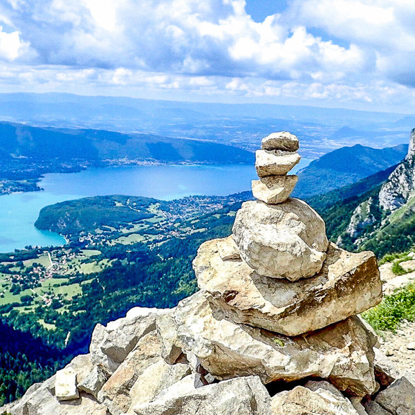
Hike around Annecy lake

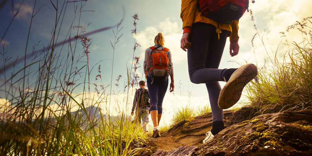
Hiking around Annecy Lake
What is hiking?
Hiking is an outdoor activity that consists of moving on foot on trails in the plains or mountains. The purpose of this practice is to discover new spaces, to appreciate a landscape, to get away from the crowds and to recharge your batteries, or to physically exercise.
What is the difference between hiking and trekking?
Trekking is a term that is often used to characterize hiking over several days while roaming. It is a word derived from the Dutch word for "migration", which has its origin in South African history. It is often used in the mountains to refer to itinerant trekking that requires traveling through areas that are difficult to access.
Where to hike around Annecy?
Lake Annecy and its mountains are an infinite playground for lovers of nature and wide open spaces.
The lake's surroundings are ideal for gentle and easy hiking.
The Roc de Chère reserve
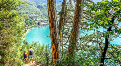
The Roc de Chère nature reserve is an ideal place to start hiking. You will evolve in a preserved environment between forests and magnificent viewpoints on Lake Annecy and the Bauges nature park. The reserve is rich of about twenty different natural environments. The result is a variety of very different animals, plants and insects on a small area of only 70 ha. It is the only national reserve to share its space with a golf course!
If you're looking for a bit of difficulty, you can reach the bay of Talloires from Menthon-Saint-Bernard via a magnificent path that crosses it from side to side. Be careful however, the descent to Talloires is steep and therefore you leave the "initiation hike" framework.
The reserve at the end of the lake
The nature reserve at the end of the lake is also a popular area for hikers. Second nature reserve around Lake Annecy, it is a wetland crossed by two rivers: the Ire and the dead water. A flat and marked path crosses this marshy area. The numerous explanatory panels are there to enhance the walk and help you discover the unsuspected richness of this very special environment. At the edge of the reed bed you can enjoy the view of the "little lake" from the Beauvivier tower. With a bit of luck, maybe you will see the European beaver, reintroduced into the reserve almost 40 years ago.
As soon as you leave the lake, the specific geology of the area makes the terrain quickly steep.
Angon waterfall
The Angon waterfall is one of the jewels around Lake Annecy. It is 60m high and is a paradise for canyoning enthusiasts. At the Annecy guide office, the mountain guides propose a looped hiking itinerary starting from Talloires of about 3 hours. The first ascent, of about 45 min is steep, but fortunately in the forest. Then, we reach a superb balcony path carved in the rock which allows us to reach a footbridge from where we can observe the canyoneers abseiling down under the waterfall. The return trip will be via the pretty village of Angon and its old farms, and then by the lakeside.
On the east shore of the lake - Le Massif des Bornes
Mount Veyrier
A veritable balcony over Lake Annecy, the Mont-Veyrier hike is one of the great classics around Annecy. The departure can be from Annecy-le-Vieux or from Veyrier du Lac for the day version. Alternatively, you can do the half-day loop starting from Le Pré-Vernet. The most interesting part is the ridge path which takes the GR de Pays du tour du lac d'Annecy. On the program, many breathtaking viewpoints on the big lake.
The Lanfonnet and the tip of Talamarche
These two summits are accessible from the Col de Bluffy, Planfait, Montremont or the chalet de l'aulp. Depending on the departure chosen, the profile of the itinerary will be totally different. The easiest route will be from the chalet de l'aulp. These two ridges are very aesthetic and will offer you a breathtaking panorama of the lake, the teeth of Lanfon as well as the Bauges massif and the Aravis. A must in the area, but you need a minimum of training to reach them.
La Tournette
The most coveted summit around the lake. Also several routes are possible to reach the "armchair" the top of this majestic mountain. The "classic" itinerary proposed at the Annecy guide bureau starts at the chalet de l'aulp. It uses cabled and chained sections and a ladder to reach the summit. This hike is proposed to very good walkers who are not afraid of heights.
On the west bank of the lake - The Bauges massif
The Semnoz
It is the mountain of the Ancients, a dome made up of mountain pastures with a breathtaking view of the Northern Alps. In winter it is a ski resort. In the summer the snow gives way to the green mountain pastures where the abundance of tarines, Montbéliardes, dairy cows used for the reblochon and tome des bauges factories, graze peacefully. In this bucolic environment we make an easy loop of about 3 hours at the guide office in Annecy through the crest of the eagle.
Le Taillefer
The taillefer, is the geological extension of the Roc de chère. Thousands of years ago, it physically separated the large lake from the small lake by acting as a glacial lock. After successive glaciations, this lock disappeared under the action of erosion. Today a hiking route winds around this mountain and offers a different view of the lake. The departure is from the village of Duingt, a former fishing village. First we take a Way of the Cross which leads us to the grotto of Our Lady of the Lake. Then we gain altitude through a boxwood forest before reaching the Bellevue esplanade. The rest of the tour takes place on the ridge. For the short loop, you can return in the direction of the Héré castle, an old fortified house from the end of the 14th century. For those who wish to go further, you can go up the Taillefer all the way up to the oratory above Lathuile. Be careful, some passages require you to put your hands down.
If you go even further from the lake on the east side
The Parmelan Plateau
Limestone plateau, it is a geological curiosity of the area not to be missed. Numerous itineraries allow you to discover it: From La Blonnière, via the Pertuis pass, via the Grand Montoir or the Petit Montoir. From the Diau cave and finally the easiest route starts at the chalet de l'anglettaz. You will evolve in a lunar environment, in the middle of chasms, lapiaz, caves characteristic of karstic environments. The Parmelan hut, on the summit of the Tête du Parmelan, is a belvedere and resting place that cannot be ignored.
The Glières plateau
A mecca of the French resistance during the Second World War, you will find a multitude of hiking trails for all levels. A vertiginous route consists in taking the pas du Roc. A passage carved into the rock, called "sentier des espagnols" by the maquisards, it will lead you to the sublime dairy field, a wild mountain pasture. For good hikers, continue your route to the summit of Sous Dîne where a beautiful panorama awaits you. If you wish to make easier circuits, it is preferable to start from the Col des Glières in the centre of the plateau. A classic is to go up to Chalet des Auges via the Pas du Loup. The ascent is moderate and lasts about 1h30 to 2 hours. Up there, a spectacular panorama of the Aravis mountain range and Mont-Blanc awaits you. For those who only wish to walk, the plain of Dran is ideal. A track goes around it, and you can even stop for a gourmet break at the Café de Notre dame des neiges. You can eat there a lot and very well.
The Beauregard plateau
Magnificent mountain pasture above La clusaz, the Beauregard plateau bears its name well. It is situated opposite the Aravis pass through which the Mont-Blanc can be seen as a backdrop. Accessible from La Clusaz, on foot for good walkers or by the Beauregard cable car for those who want to go "cool". The classic starting point for a beautiful loop is the Col de la Croix Fry, home of the starred restaurateur Marc Veyrat. The circuit passes through the plateau des follières, a peat bog area, to reach the Colomban refuge. We return to the plateau via the ridge above the Vaunessins. You can buy your cheese (reblochon, tome) directly at the farm in the summer.
The Aravis chain
There are many hikes to be done in the Aravis. Most of them are difficult and steep hikes on rocky terrain.
Among the most famous:
La Pointe Perçée (2750m) : Vertigo hike, a difficult hike which is usually done from the Col des Annes. The loop is via the combe des verts to return downhill to its west face. This is the limit of mountaineering. In the last part of the ascent, it is necessary to be equipped with helmet, harness and rope because the evolution is in easy climbing.
Tardevant (2501m) : A beautiful hike starting from the confines. The start takes the GR de Pays Massif de Tournette-Aravis via Paccaly. We go up the coomb of Tardevant, we pass in front of the small lake of Tardevant at 2100m formed by a glacial lock. Then last ascent while passing by the Ambrevetta and the ridge which leads to the top.
The hole of the fly: An atypical passage in the rock is the highlight of this hike from the confines. You go up the combe du Grand Crêt on a path then the end of the course becomes a little more random and less marked. After crossing the arch, you will go down into the combe de Paccaly via the passage du Père.
L'étale (2483m) : L'étale, located in the southern part of the Aravis is a summit that has to be deserved. From Comburce the ascent is immediately steep. The summit can be made either in loop by the edges, it is necessary at this moment to be equipped with a rope, helmet, harness because the error does not forgive, or in return by a path which passes at the foot of the summit. In any case, the panorama is splendid over the whole chain.
Mount Charvin (2409m) : There are many possibilities with various difficulties around Mount Charvin. On the side of Le Bouchet, you can start from Les Fontanettes via the Aulp de Marlens and then head directly to the summit of Mount Charvin via its east face. This is a steep route for good walkers. For those who are not afraid of heights, you can do the loop via its East ridge (Via Ferratta) where you need to be equipped. The via ferratta route is recommended on the way up, so you will have to take the Col des Porthets, join the lake of Mont Charvin, source of the Fier, and go up the East ridge by taking the via ferratta. Access to the Mont Charvin lake can also be done from the upper Fier valley from La Joux.
In all cases, it is important to honestly discuss your mountain experience and physical fitness with your mountain leader; as professionals we will adapt and offer you a race that suits you.
Hiking is a very accessible activity that can become physically demanding along the proposed route.
At the guide's office in Annecy, the mountain guides offer you selected hikes of different difficulties. Their level is detailed in a sheet called "Levels of difficulty of hikes" downloadable on the site.
In the mountains, physical and technical preparation is essential to progress safely and have fun.
Before you leave, check your bag with the material lists available on the site ;make your snack and relax : it's the holidays!

